

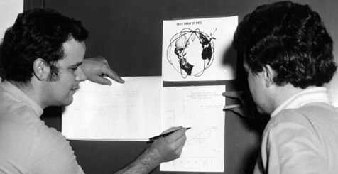
David Wells on the left; then a student in the Department. David completed his Ph.D. in 1974, then joined the Department in 1980 as the expert on hydrographic surveying. Ed Krakiwsky on the right; then a professor of geodesy in the Department. Ed, of course, is now with the Department of Geomatics Engineering, The University of Calgary.
In 1971, a Navy Navigation Satellite System base station was set up on the roof of the penthouse one floor above the Department. Other stations were located throughout eastern Canada to track the NNSS satellites then being used by the U.S. Navy's Polaris submarines to update their inertial navigation systems. The Department proved that the data obtained from these NNSS satellites could be used to determine positions on land with sufficent accuracy that they could be used for geodetic control. The Global Positioning System has now replaced the NNSS.