![]()
The procedure is as follows:
1. Select the centre line of KING STREET.
2. Generate a buffer zone of 15 metres around it. This will overlap any parcel on either side of the street.
3. Overlay this zone upon the parcels.
4. From the records retrieved, select those with street names other than KING STREET.
![]() Generate
a buffer zone around the centre line of KING STREET.
Generate
a buffer zone around the centre line of KING STREET.
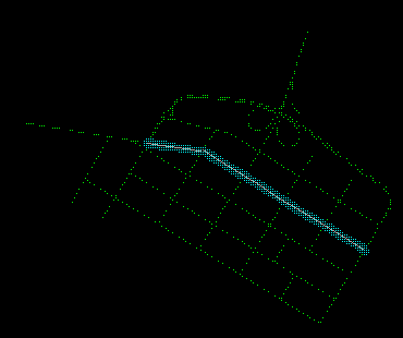
1. Disconnect from the DB Manager (See Chapter 31: Overlay Analysis Involving Points: Exercise Disconnect from the DB Manager). Then display only the street centre lines (the theme is 70).
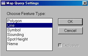
2. Pick the MapQuery > By Pointing.3. A Map Query Settings Panel appears. Select Line to indicate that you will be selecting a line feature and press the OK button
.
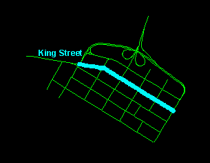
4. Point at the centre line of KING STREET. The centre line of King's Street is made up of different sections you will have to click on all the sections and press Y on the keyboard to accept these sections.
5. Generate a 15-metre buffer zone around KING STREET.
![]() Retrieve
parcels along KING STREET.
Retrieve
parcels along KING STREET.
The 15-metre buffer zone will overlap the parcels on both sides of KING
STREET. Overlaying this upon the parcels will retrieve all those along
KING STREET. Before you perform this overlay, connect the PROPERTY
database again using the Options > Display > Project ... menu item
and change the visibility parameters to display the land parcels (theme
50).
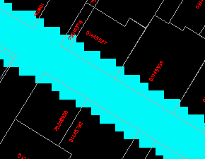
Use the MapQuery > By Zone ... menu item to select the overlapping parcels.
![]() Which
of these parcels have street addresses other than KING STREET?
Which
of these parcels have street addresses other than KING STREET?
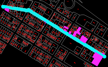
Use the DB Manager to select those parcels along KING STREET but with street addresses other than KING STREET. These parcels are shown below.
![]()
