![]()
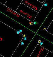
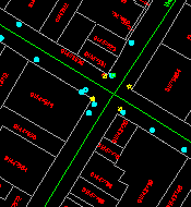
1:500 1:1000
It can also generate a map consisting only of land parcels or other features of your choice.
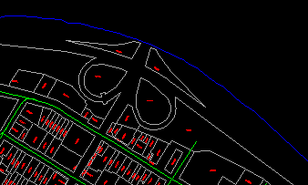
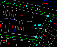
You can make measurements such as length, area, and angle.
You can retrieve information from the database, such as a description of the property highlighted in the diagram.
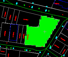

You can enter a search condition, such as POLICE STATION, and let the GIS retrieves and highlights its location.
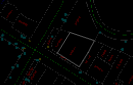
You can simulate a situation, such as the extent of an underground gasoline tank leakage from this gas station.
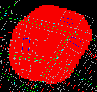
From this, you can then retrieve all properties that are affected by the leakage.
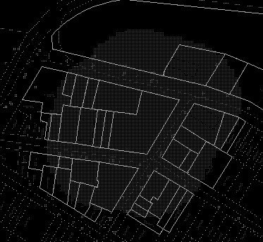
You can calculate the streets you can cover within a driving time of 10 minutes from any given origin.
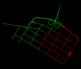
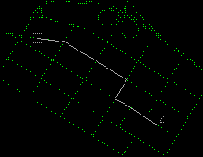
You can determine the shortest route from one point to another.
You can do many more tasks. The challenge of a GIS application is that there are many ways to perform a task. On the other hand, no GIS can provide the tools to solve all your problems. However, the tools they do provide are general enough to solve most of them, and if you do want something special, you can always customize or extend a GIS to suit your needs.
![]()