![]()
Earlier we used the Information icon ![]() on the CARIS Panel to highlight a
feature. That command also displays information about features.
on the CARIS Panel to highlight a
feature. That command also displays information about features.
![]() Display
information about a line.
Display
information about a line.
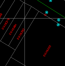
1. Centre at (288658, 740417) and draw with a scale of 1:400.
2. Click on the Information icon on the CARIS Panel.
3. Point at the line.
(288658, 740417), 1:400
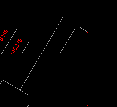
4. It will be highlighted.
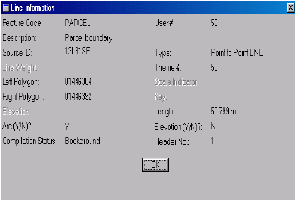
5. The Line Information Panel will show immediately.
6. Click on the More...button
to show the Full Line Information Panel.
7. After you have finished reading the information, click on the OK button
to return to the short panel. Then click on the Esc or Q button to exit from this command.
![]()


