![]()
I
n a GIS, distances are computed from coordinates. As explained earlier, the coordinate systems affect the coordinates of a point, and therefore also affect distance computations. We will illustrate this in the first exercise. We will then show that length calculation along a line is an extension of distance calculation between two points. In order to use the stored points for a line to compute its length, we are faced with the challenge of finding points in a large database efficiently. An approach to this search problem will also be discussed.
![]() Measure the distance between two points.
Measure the distance between two points.
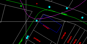
1. Centre the display at (288530, 740510) ground units, and choose a scale of 1:700.
2. Select the MapQuery > Distance Between 2 Points menu item.
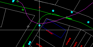
3. Move the crosshair to the first point (on one side of the street) and click on the left mouse button.

(288530, 740510) ground units, 1:1000
4. This will leave a cross indicating where you have entered the point. Position the crosshair on the other side of the road, and click on the left mouse button.

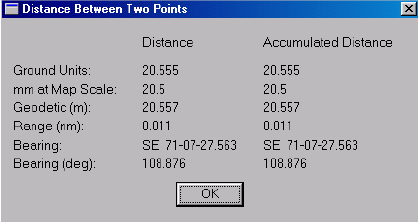
5. The distance between the two points, hence the width of the road, will be displayed.

6. Click on OK after you have finished reading the display.
7. The crosshair will reappear. Click on the right mouse button twice to exit from this command.
![]()