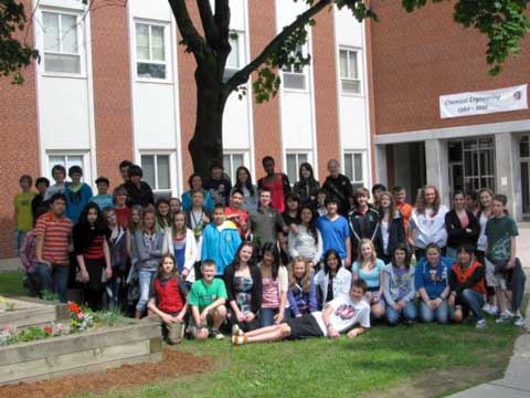
Geocaching with George Street Middle School, House of St. Croix
Photo: Michelle Ryan, 2011-June-15
(Continued from here.)
For the first half of this event, the A's used a GPS receiver to navigate to six waypoints around campus. At each waypoint, there was a wooden stake hidden near the location of the waypoint and each stake had a letter on it. When the group arrived at a waypoint, they searched for the stake and recorded the letter on their handout.
While the A's were using the GPS receivers, the B's answered questions about persons, displays, and buildings on the UNB Campus. An example of one of the questions was: "What did members of the 1965 Mount Kennedy Mapping Expedition name their survey camp? Hint: See Mount Kennedy poster near room E7, Head Hall".
After approximately 50 minutes, the groups switched activities – that is, the A's answered questions and the B's used a GPS receiver to navigate to six waypoints around campus. Like the Kentucky Derby, this event is a race and the team with the highest score (determined by number of questions answered, number of stakes found, length of time taken, etc.) won the "grand prize" – $5 gift certificates to each member of the team.
Before starting the event, students were give brief presentation on "GGE", "GPS–What is it?" and "GPS–Practical Applications".
The event was organized and coordinated by Michelle Ryan, David Fraser, and Jay Woodyer.
 |


