2011 Student Technical Conference
(Continued from here.)
The full-day program included oral presentations from undergraduate and graduate students on topics related to geodesy, metrology, technical surveying, navigation, cadastre, land administration, ocean mapping, hydrography, remote sensing, and photogrammetry.
The conference started with a welcome address by the organizers, Patrick Adda and Yun-ta Teng. The presentations then followed.
This year's conference was divided into three sessions, chaired by Yun-ta Teng, Bahram Salehi, and Patrick Adda, respectively. The third session was the annual Canadian Institute of Geomatics (CIG) undergraduate student competition.
The judges for the graduate student presentations were Stephen Hartley from GENIVAR, Bernie Hogansen from the Association of New Brunswick Land Surveyors, and Monica Wachovicz (now a GGE adjunct professor).
While the judges were making decisions, the graduate student paper awards from McElhanney were announced. Prof. Marcelo Santos presented the McElhanney cash awards of $1000, $300, and $200 for the first, second, and third place performances, respectively, on behalf of the GGE Director of Graduate Studies, Prof. Sue Nichols. The first place winner was Bahram Salehi. The title of his presentation was “Combination of Object-based and Pixel-based Image Analyses for Classification of VHR Imagery over Urban Areas.”
Second place went to Vivek Dey. His presentation was on building detection in very high resolution satellite imagery using context-based image segmentation. Third place went to Dan Kirkby who spoke about the Canadian Forces Base Gagetown hydrologic model.
This year's CIG competition involved five undergraduate presentations competing for the three awards. The judges were Yves Leger, Bernie Connors, and George McKessock from the CIG New Brunswick branch.
Dr. James Secord announced the winners of the undergraduate student paper competition. The first place $1000 award, offered by CIG, went to James Thomas who spoke about pixel-based image classification of digital aerial orthophotos of the City of Fredericton for urban green space investigation. Both second and third place awards were offered by McElhanney. The second place $300 award went to Kyle Headdy. He spoke about advantages of using virtual reference stations for surveying in New Brunswick. The third place $200 award went to Justin Theriault, who spoke on a comparison of precise point positioning GPS elevations with the Northwest Atlantic Hydrodynamic Model on the Grand Banks.
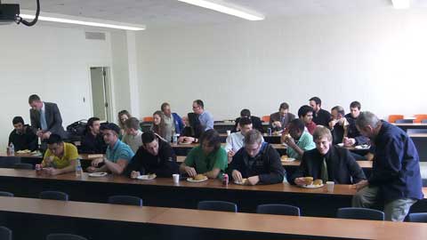
After the conference, the speakers and the audience met for refreshments at the reception that was hosted by Midwest Surveys.
The conference could not have been the success it was without our sponsors: McElhanney, CIG, and Midwest Surveys. In addition, we would like to thank the GGE secretaries for their behind-the-scenes work. On behalf of all GGE students and staff, we would like to thank them for their efforts.
 |
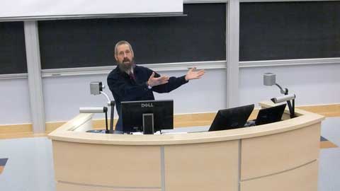
| Director of undergraduate studies, Dr. James Secord, introduces the undergraduate student presentation awards and the judges. (Photo: Yun-ta Teng) |
 |
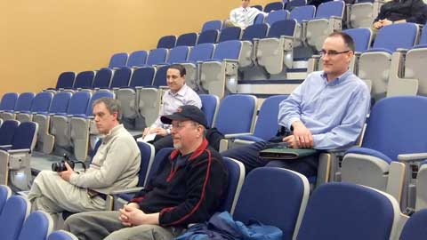
| Judges of the undergraduate student presentation awards. Left to right: Yves Leger (in the background), George McKessock, and Bernie Connors. (Photo: Yun-ta Teng) |
 |
| First place undergraduate award winner James Thomas being presented with certificate by Yves Leger. (Photo: Yun Zhang) |
 |
| The reception. (Photo: Yun-ta Teng) |


