The Heron's Arctic Adventure 2006
 |
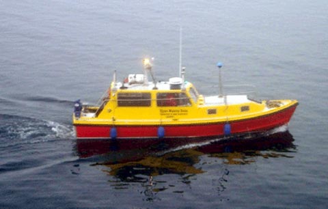
| Heron on the side of the Amundsen (Church, 2006) |
 |
| The Arctic mapping family in Oliver Sound (McFadden, 2006) |
After sitting idly by for 12 days, it was the Heron's turn to shine for the Oliver Sound survey. Oliver Sound is located in Sirmilik National Park on the northern tip of Baffin Island. The purpose of the Oliver Sound survey was to map the deep sections of the uncharted fjord with the Amundsen and to map the glacier fronts and shallow waters with the Heron. The Heron was launched early in the morning. Over approximately 24 hours, Oliver Sound and one side fjord were mapped.
 |
| Launching the Heron in Oliver Sound (Church, 2006) |
 |
| The Heron surveying in Oliver Sound (Church, 2006) |
 |
| Oliver Sound Survey Map |
The next stop for the Heron was the scenic Belcher Glacier on Devon Island. For this survey, the Heron's job was to map the glacier front while the Amundsen mapped the uncharted waters in the inlet. Over 12 hours the majority of the front of Belcher Glacier was mapped with the Heron, while the surrounding waters were mapped by the Amundsen.
 |
| Belcher Glacier (Church, 2006) |
 |
| A view from the Heron (Brucker, 2006) |
 |
| Belcher Glacier Survey Map |
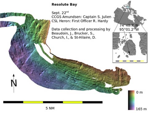
The third stop for the Heron was Resolute Bay, Nunavut. Over the 12 hours allocated for this survey, the Heron mapped the near shore waters of Resolute while the Amundsen sat at anchor for a community visit.
 |
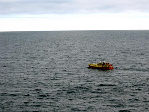
| The Heron heading out into the Resolute Bay fog (Brucker, 2006) |
 |
| The northern community of Resolute Bay, Nunavut (Church, 2006) |
 |
| Resolute Bay Survey Map |
The fourth and final Heron survey for leg one was in Coronation Gulf. The Heron and the Amundsen both contributed to mapping along a potential new shipping route in the southern section of Coronation Gulf. The Heron spent its time in the shallow waters along a line of outcropping bedrock escarpments while the Amundsen mapped the deep basins along the potential shipping route.
 |
| The Heron heading out to survey in Coronation Gulf (Church, 2006) |
 |
| The leg one route. |
Leg two proceeded to perform a number of Heron surveys in the Beaufort Sea region. More information and survey maps will be available when the crew from leg two arrive back at UNB.


